By Keisha Harrold
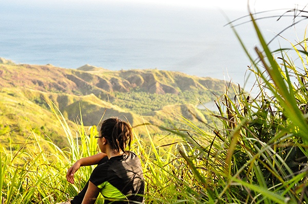
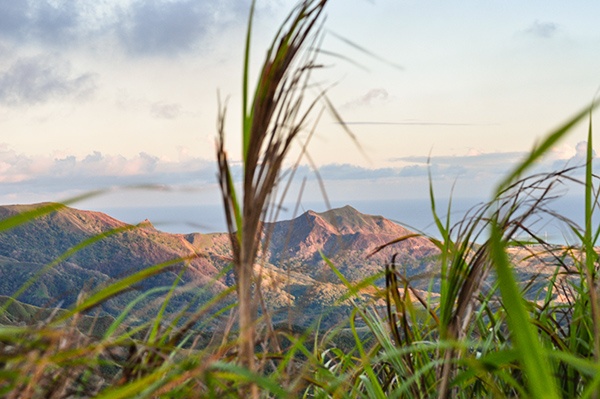
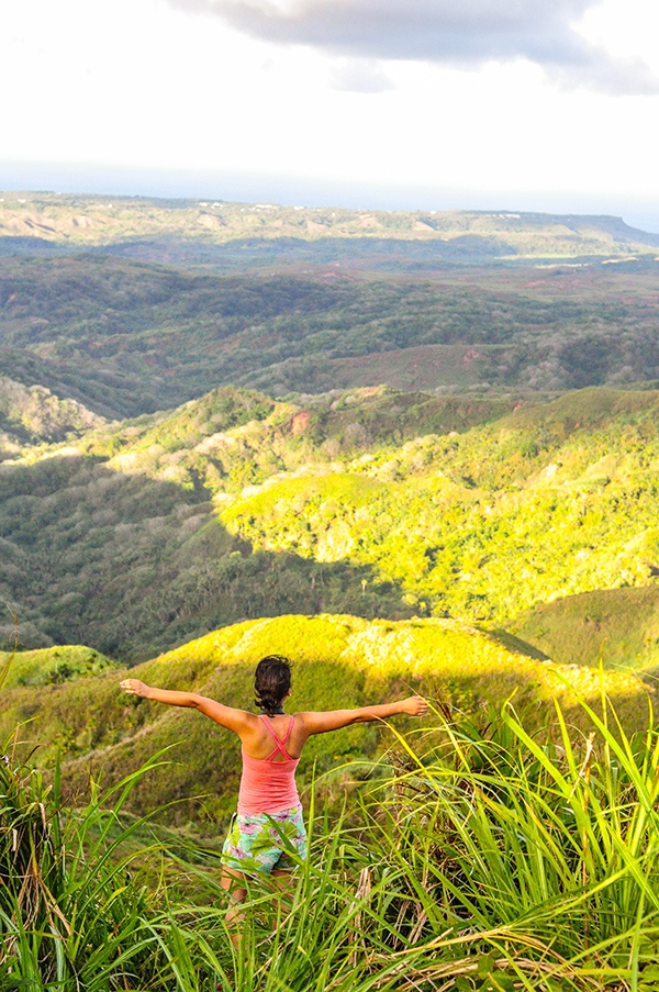
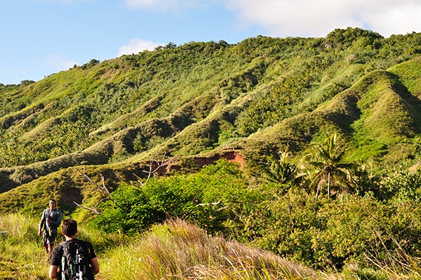
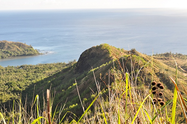
If you are visiting Guam and are looking for a beautifully unique experience, then you’ll love Mount Lamlam! The views are impressive, on one side looking over the lush hills of the island and on the other side gazing into the ocean’s horizon. This hike is fairly short, but in the end you’ll have bragging rights for climbing “The World’s Tallest Mountain.”
Mount Lamlam is the highest peak on the island of Guam. If you think about where this island is placed, rising 37,820 feet above the floor of the Marianas Trench, then measuring from the bottom of sea level to the tip of this peak — Mount Lamlam is the tallest mountain in the world! This submerged mountain is full of secrets waiting to be found.
WHAT TO BRING FOR HIKING MOUNT LAMLAM
Make sure to bring water. The hike is uphill and fairly windy, plus you can become dehydrated very quickly in Guam’s heat.
Apply sunscreen before you go. There’s really no escape from the sun on this hike, so be sure to protect your skin.
Don’t forget your camera. You’ll want to capture the breathtaking views.
It might be worth wearing longer pants to avoid scrapes and cuts from the sword grass in sections of the hike, or for if you get an urge to go off the path a bit.
Bring snacks to enjoy. Personally, I like the idea of doing some sort of simple picnic at the top of Lam Lam while watching the sunset with friends. Of course, that’s optional.
DIRECTIONS TO MOUNT LAMLAM
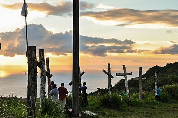
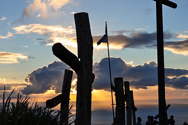
The mountain is located near the village of Agat, in the south-west of the island. The trailhead is pretty easy to find. Every year the trail is used for a tradition by local Catholics of stationing large crosses upon the secondary peak. The path is well worn and there shouldn’t be problems to finding your way up the mountain.
If you are coming from Tumon Bay, it will take approximately 40 minutes to reach the trailhead.
Turn right (south) onto Marine Corps Drive and continue on Route 1.
You will be forced to turn left before entering the Navy base. This will lead you onto Route 2A, continue onto Route 2.
You’ll reach Agat, drive through and continue approximately 3 miles.
You will see a red wall on the right side where you can park, the trailhead is on the left, across the street. There is a small green trail sign by the head.
If you reach Umatac you’ve gone too far and need to turn around.
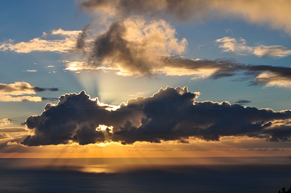
Lamlam means “lightning” in the local language, Chamorro. On this evening, Mount Lamlam certainly lived up its name. From the top of the mountain we watched a cloud in the distance as the sun was setting. Every few minutes the cloud would flash with the beauty of lightning. It was extraordinary. Every time someone hikes to the top of Mount Lamlam they are sure to have a unique experience.
Whether you are with a group or by yourself, don’t miss out on hiking this mysterious mountain. Find out for yourself what is so spectacular and maybe it will share a secret with you.